Feature

Our vision for the Humber Estuary Priority Landscape

Find out about our work to restore and enhance a landscape where wildlife, communities, agriculture and industry thrive alongside each other.

On this page

Our vision for the Humber Estuary Priority Landscape is to maintain and enhance the important biodiversity of the Estuary and its hinterland. We’ll also work with others to ensure that nature plays its vital role in mitigating the impacts of climate change and increased flood risk.  

We will maintain, create, and restore habitats, with our reserves and other protected sites forming the core focal points. Together with communities, land managers, and industry, we will create a wildlife-rich landscape that future generations can continue to enjoy living and working in. 

About the Humber Estuary Priority Landscape

The Humber Estuary is the largest estuary on the east coast of the UK, draining over 20% of England. It’s one of the UK’s top wetlands for birds and wildlife and forms a crucial part of the East Atlantic Flyway, one of the world’s great bird migration corridors.  

This is despite the huge challenges it faces, such as drainage, land reclamation, industrial development and a growing human population. The area contains the UK’s largest port complex, is connected to around 25% of UK energy and houses over a million people.  

The landscape is also in the top ten of the most important estuaries in Europe for wintering and non-breeding ducks, geese and wading birds, and is dominated by a mosaic of inter-tidal and freshwater wetlands, and low-lying arable farmland.  

The Humber Estuary Priority Landscape provides a unique combination of both the drivers and opportunity to create a spectacular wetland landscape at a scale rarely seen in the UK, for the benefit of both wildlife and people. 

Konki Pony used for grazing at RSPB Blacktoft Sands Nature Reserve

Where is the Humber Estuary Priority Landscape?

The Humber estuary and priority landscape stretches from Goole on the west - where the inner stretches meet the River Ouse - to Spurn point on the east, where the outer estuary meets the North Sea. It spans a huge area west to east, passing by large towns & cities such as Goole, Hull, Grimsby and Cleethorpes.

Key habitats and species

Key habitats

  • Tidal and freshwater reedbeds, lowland wet grasslands, inter-tidal mudflats, saltmarsh, beaches and dunes, arable farmland and coastal lagoons.

Key species

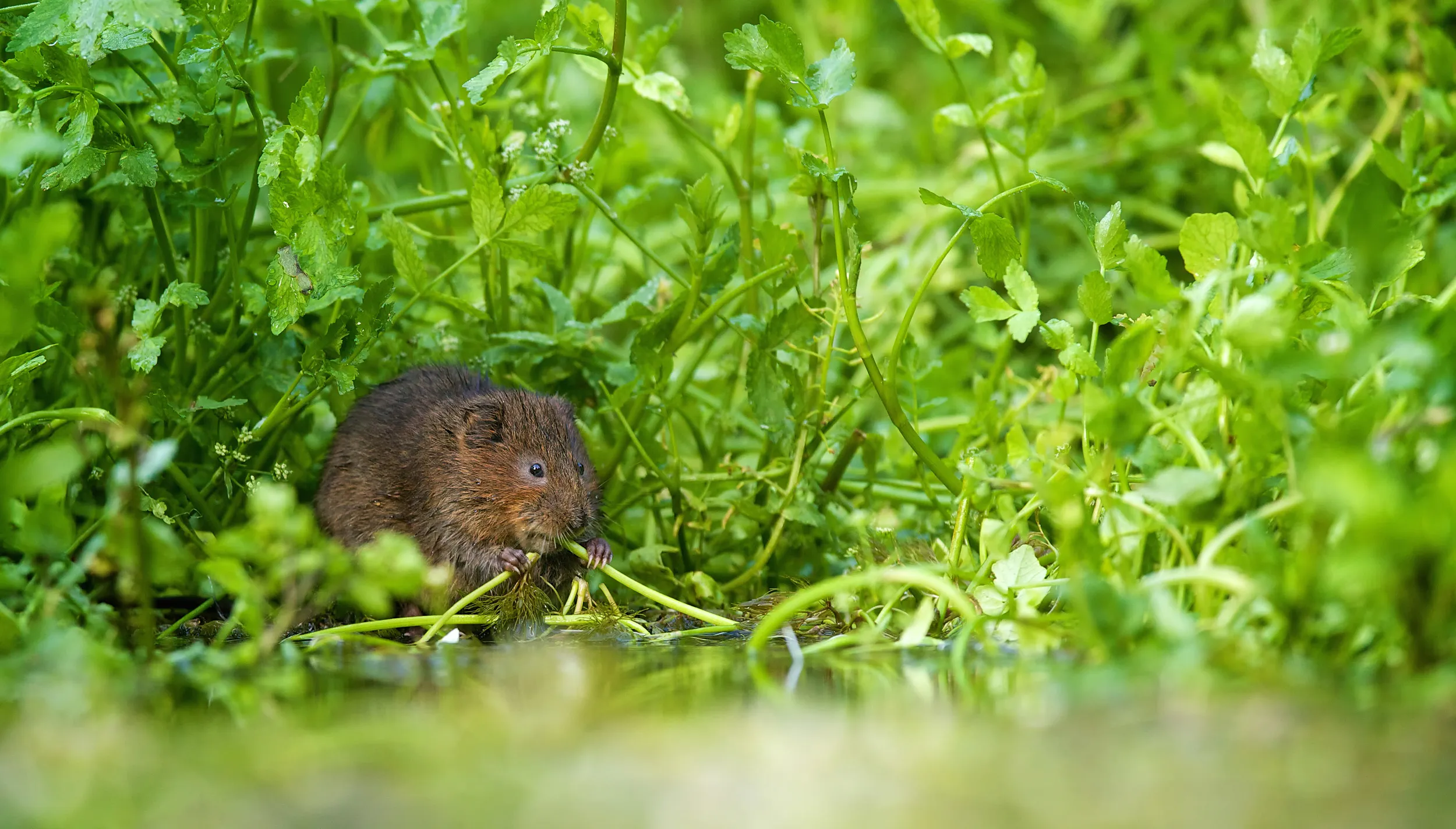
  • Breeding Marsh Harriers, Redshanks, Lapwings, Little Terns, Ringed Plovers, Oystercatchers, Avocets, Corn Buntings, Water Voles and internationally important populations of wintering and passage waders and wildfowl. 

Designations

Special Protection Area (SPA), Special Area of Conservation (SAC), Site of Special Scientific Interest (SSSI), Ramsar Wetland. The landscape also forms part of the candidacy for the East Coast Flyway World Heritage site.

Why this area is important

The area is important for its high biodiversity value, habitat provision, climate resilience/carbon sequestration, natural flood and coastal management. It also holds cultural significance due to its recreational and tourism potential, and supports food production, farming, ports and industry. 

Why are we prioritising this landscape?

The Humber Estuary is a unique place. Wealth sits next to deprivation, university towns lie adjacent to rural communities, and wildlife co-exists alongside industry. 

Historically, the importance of the Humber to people and economic development has threatened the Estuary’s internationally important wildlife. However, these factors are also crucial reasons to protect the Estuary’s precious habitats and species.  

Wetland habitats play crucial and unique roles in protecting communities and businesses from flooding by helping to maintain flood defences. They also clean and store freshwater, lock away carbon, and provide health and wellbeing benefits to local people.  

If we’re to overcome the challenges of the nature and climate crisis, then the solutions created by these habitats will be essential. Consequently, the Estuary provides a unique combination of the need, drivers and opportunity to create a spectacular wetland landscape that helps people and wildlife to thrive together in the long-term. 
What are the threats and opportunities?

Threats

  • Sea level rise and coastal erosion. 
  • Increased risk of flooding and drought. 
  • Water pollution. 
  • Invasive species. 
  • Mismanagement of land (over/under grazing). 
  • Agricultural intensification. 
  • Industry, port, and housing development. 
  • Increased recreational disturbance from a growing population. 
  • Predation pressures. 

Opportunities

  • Managed realignments and flood alleviation schemes. 
  • Wetland creation delivery through Biodiversity Net Gain (BNG). 
  • Creation of mitigation sites (i.e the South Humber Gateway Strategic Mitigation Strategy). 
  • Partnership and community led projects. 
  • Large scale strategies (i.e, Humber 2100+). 
  • Environmental Land Management Scheme. 
  • Recognition of the Humber’s global importance as part of the proposed East Coast Flyway World Heritage Site. 

What are we trying to achieve with this work?

  1. To ensure the Humber Estuary holds an increasing suite of well-managed, better connected wetland habitats - from open estuary mudflats through to saltmarsh, lagoons and reedbeds, and from coastal grazing marsh to sustainable, wildlife-friendly agriculture. 
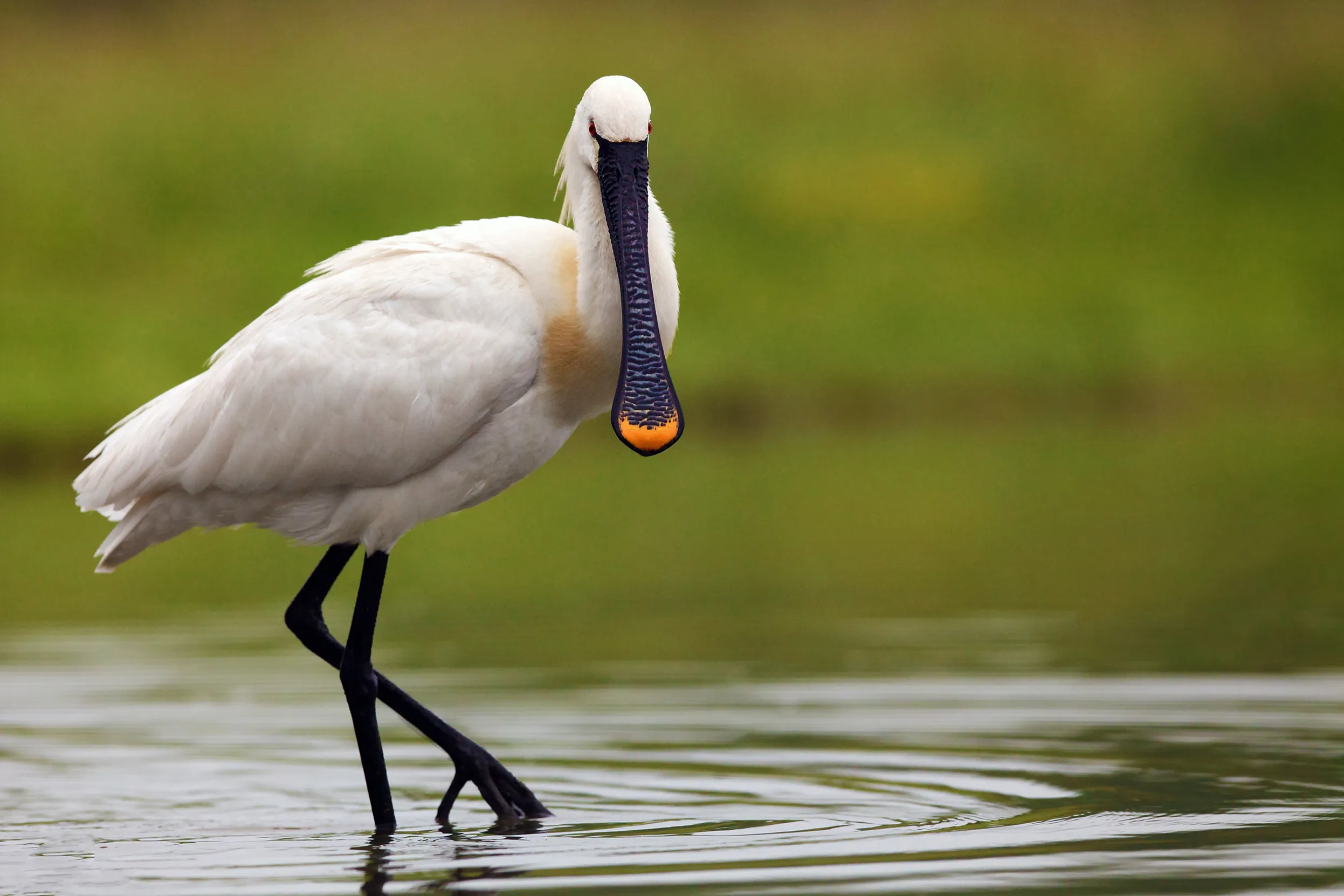
  2. To help recovering populations of breeding waders and beach-nesting birds, and colonisers such as Spoonbills, to breed regularly around the estuary. 
  3. To ensure natural flood management solutions are delivering sustainable, long-term benefits for wildlife, residents, carbon storage, and industry. 
  4. To harness the power of nature to clean, store and provide sustainable supplies of water for wildlife, communities, agriculture and business. 
  5. To help communities to value the estuary for both its wildlife and landscape, and empower them to conserve the estuary through our work with a variety of partners, 
  6. To increase our partnership with industry, statutory bodies, non-government organisations, farmers and local communities, all working towards a shared vision for the Estuary’s future that helps the Humber to play its part in achieving natural World Heritage Site status for England’s east coast estuaries. 
Spoonbill wading through shallow water, looking into the camera

The story so far...

  • We have created and improved a range of wetland habitats under high-quality management by the RSPB and other nature conservation charity/government organisations across nature reserves and sites designed to offset the impacts of industry. 
  • Numbers of key species, such as Little Terns at Beacons Lagoons, and Redshanks, Bitterns, Marsh Harriers and Bearded Tits have increased on our Humber reserves and beyond. 
  • The Humber Estuary has more good-quality habitat, and nature-based solutions are at the forefront of decision making locally.  
  • We’ve had fantastic breeding success with priority species such as Redshanks, Bitterns, and Little Terns, and continue to build strong-lasting relationships with key partners and stakeholders. 
  • We’re working collaboratively with partners such as the Environment Agency on large-scale managed realignments, including ‘The Outstrays’; and farmer engagement across the inner and outer Humber. 
  • We’re working with partners to deliver at scale across the landscape through habitat creation and restoration, priority species projects, and research, targeting areas where species recovery is a priority. 
  • We’re engaging the local and farming communities so that we can understand their needs and how we can work together. 
  • We’re also working with partners to scale up our work and harness the power of nature-based solutions and sustainable land management to improve long-term prospects for wildlife and people.  
Humber Bridge at sunset.

How can you help

Keep an eye on this page for updates. To find out more about the Humber Estuary Priority Landscape, contact us at the.humberestuary@rspb.org.uk.

Help us to research, restore and conserve the vital East Coast Wetlands landscape by donating to the East Coast Wetlands Conservation Appeal

Thank you.

Key partners

We’re working alongside the Yorkshire Wildlife Trust, Lincolnshire Wildlife Trust, Environment Agency, Natural England, Spurn Bird Observatory, Humber Nature Partnership, the industry and energy sectors, farmers and land managers, universities and local authorities. 

Useful resources

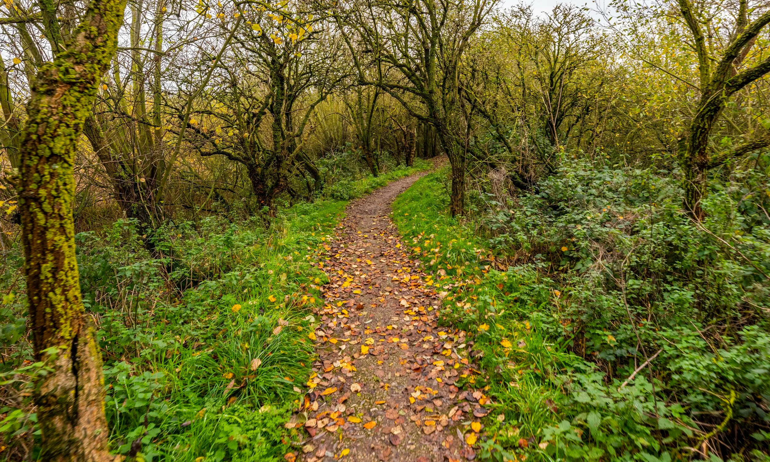
A winding woodland trail, with fallen leaves on the ground, at Blacktoft sands nature reserve
Woodland trail
Want to visit?

The following RSPB nature reserves form part of the Humber Priority Landscape:  

Blacktoft Sands

Tetney Marshes

Share this article