
Catch the latest RSPB science news
Get your quarterly dose of the latest ground-breaking news and research from the RSPB’s science team, and their partners.
Find out why science is essential to the work we do and how we use it to guide our conservation efforts.
As the climate and nature crises accelerate, practical solutions to the conservation problems we face are needed more urgently than ever.
Whether it’s deciding how to save a species on the brink of extinction or bringing a rainforest back to full health, for years the RSPB has used science-backed approaches to safeguard wild places and the wildlife that calls them home.
We do this by identifying the most important problems, discovering their possible causes, testing potential solutions and ensuring that they’re effective. We work across the UK and overseas in collaboration with a wide range of funders and partners.
Conservation informed by evidence is more likely to succeed than approaches based on guesswork. Our scientific work also equips us with the information needed to convince governments and other decision-makers to take action.
Get your quarterly dose of the latest ground-breaking news and research from the RSPB’s science team, and their partners.
We’re proud of our scientific credentials. The RSPB Centre for Conservation Science is an incredible asset, matched by few other conservation organisations. It’s designed to showcase, promote and build the RSPB’s scientific programme.
By sharing our science more openly through the Centre, we hope that it will have a greater impact on nature conservation.
In April 2013, respected ecologist and RSPB Vice Chairman Professor Sir John Lawton led a review of the programme. It concluded that our science was outstanding and a match for any large internationally-competitive UK university. But the team also told us our science deserved to be better known. That’s why we’re determined to spread the word about our work. Read on to find out about our process.
Our scientific work starts by getting to grips with the problems. Once we identify them, we can then prioritise the ones in need of the most urgent action.
Monitoring schemes and surveys are key, whether we’re carrying them out ourselves or supporting the work of other organisations. These help us put the most endangered species, the most at-risk sites and the most pressing environmental challenges at the top of our to-do list.
Our scientific programme is strongly influenced by these priorities, but they’re by no means the only thing we consider. We understand the importance of being proactive, and look ahead to try and understand how new technologies, changing land uses, industrial developments and evolving government policies will impact nature. This allows us to develop and advocate policies with confidence.

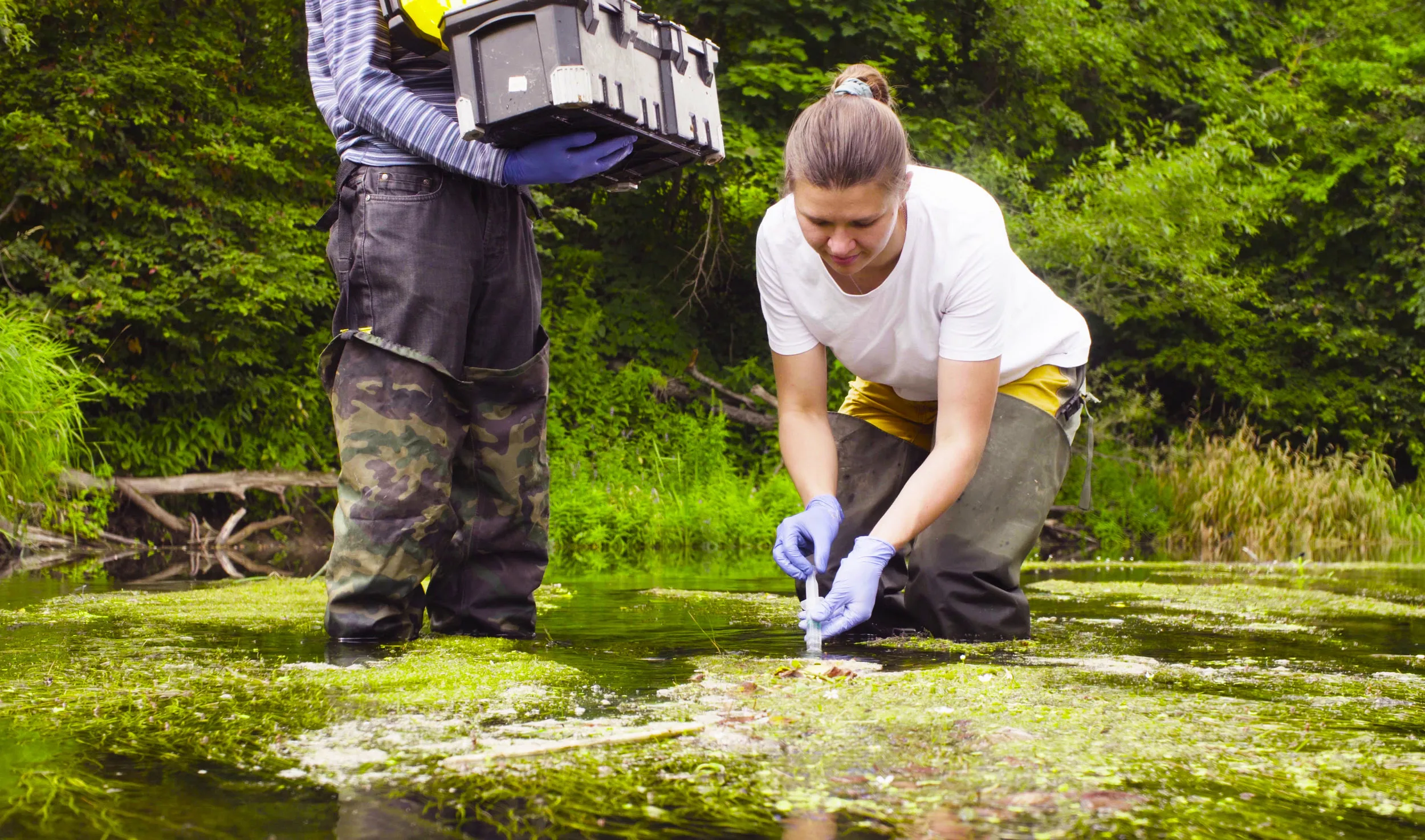
Once we've identified the problems, we need to get to the root – the cause. This part of the process can involve a lot of detailed detective work. We usually focus on a single species in the UK or overseas, carrying out studies of wildlife populations and their habitats to understand what they need and the threats they’re facing.
For birds, this might look like locating nests, measuring breeding success and marking individual birds to follow their lives in detail. New technology is hugely helpful to this vital work, but it remains in need of more funding.
The clues we gather from our studies lead us to potential solutions. Before we can roll these out on a wider scale, we test them to see if they are practically and financially workable, using field experiments wherever possible. These small-scale tests are often key to helping us gain the confidence of environmental managers.
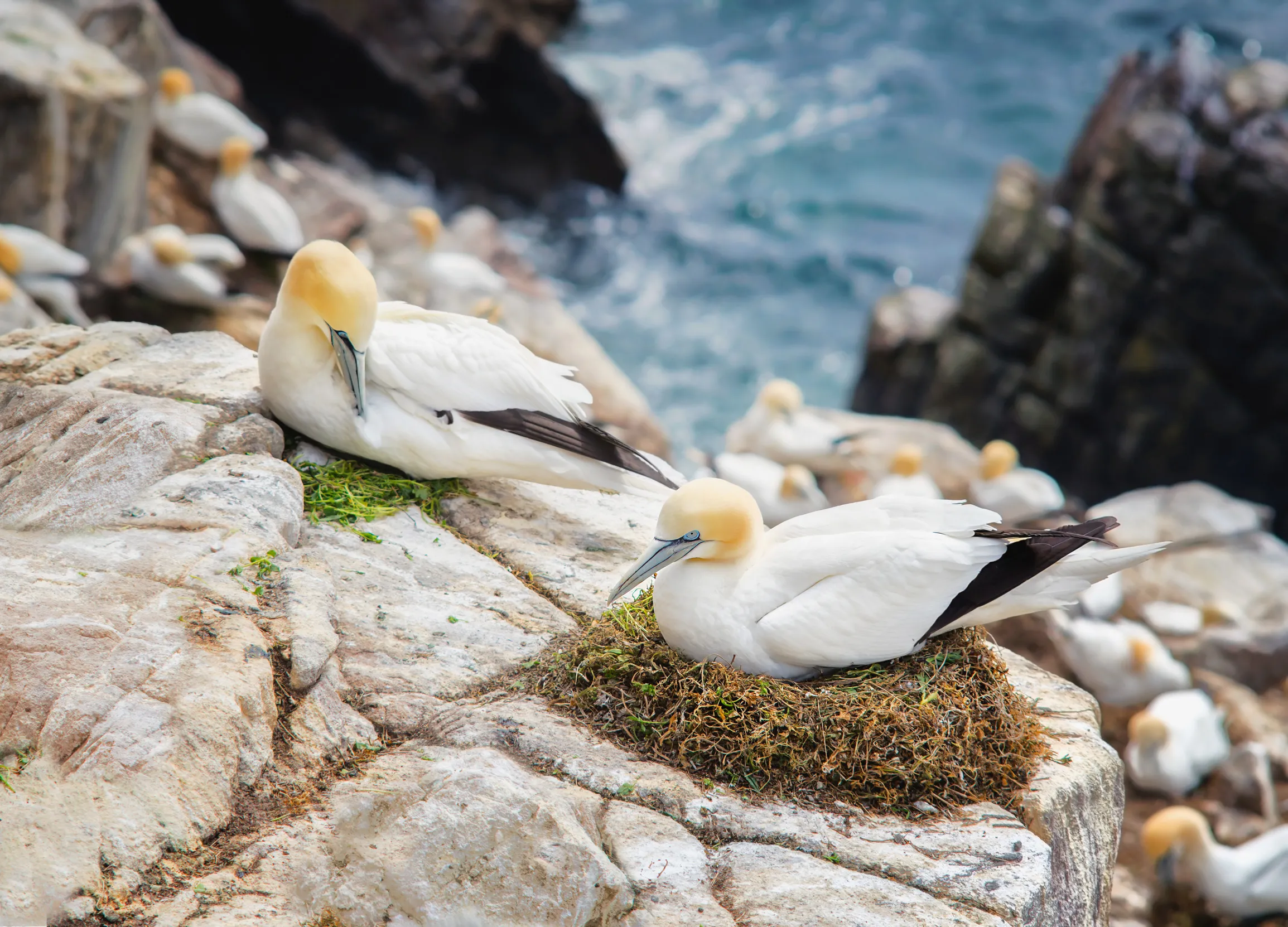
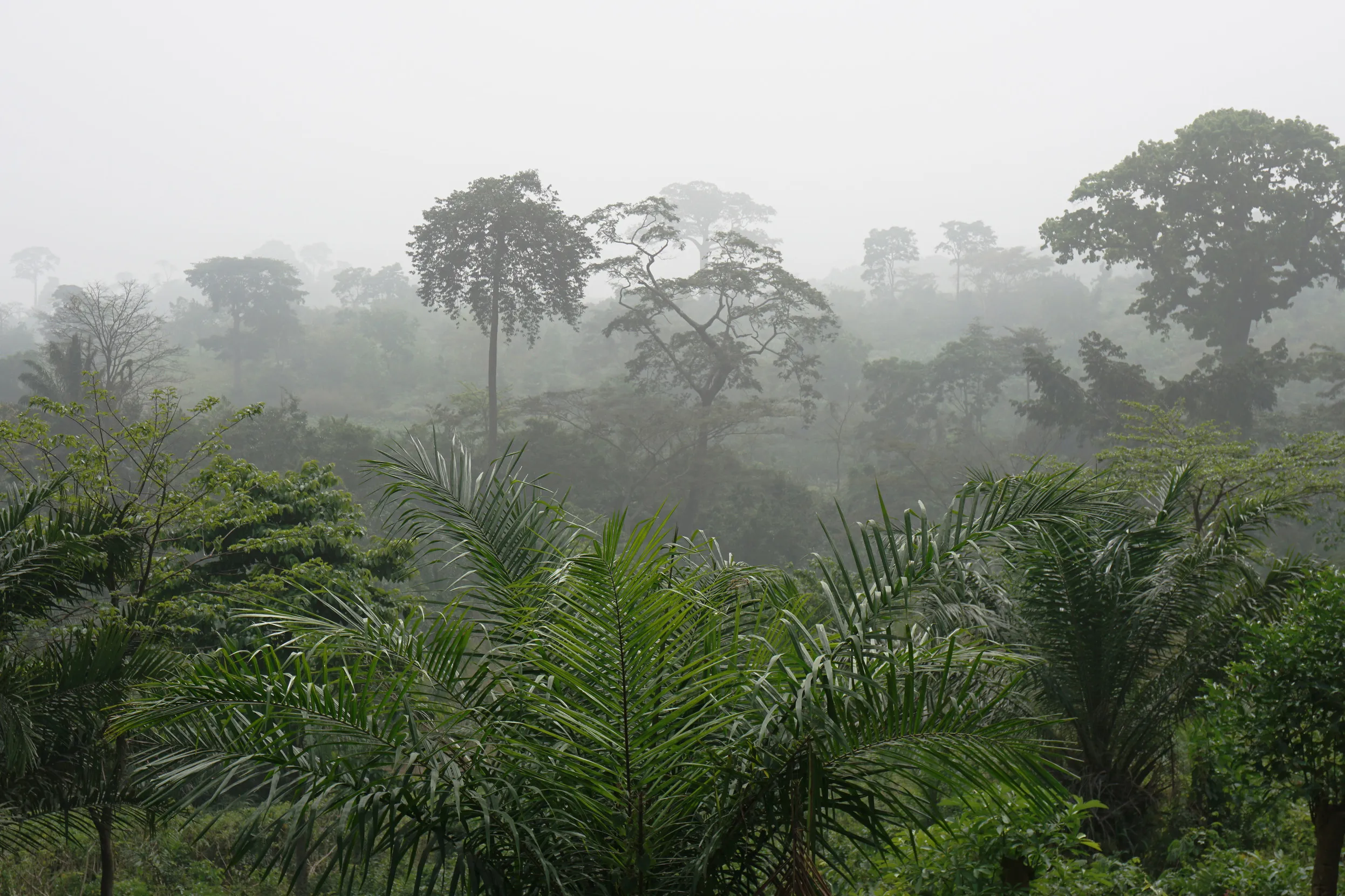
Our scientists have access to an incredible estate – 220 nature reserves and several working farms in the UK, rainforest sites in Africa and Indonesia, and other conservation projects overseas. This is central to our work, providing unique opportunities for scientific observation and experiment.
The ultimate success for the RSPB's Centre for Conservation Science is seeing our solutions become conservation action.
As scientists, we don’t usually implement or advocate conservation solutions. Instead, this tends to be the work of people like land managers, advisors, policy makers or advocates. But we do advise these people, help measure the effectiveness of their conservation interventions and improve them where necessary.
Learn more about what we do here.
The impact on wildlife and wild spaces is the true test of our scientific work, but it’s difficult to measure. What can be measured is our scientific output and that has risen dramatically since 1995.
From 2003-2012, RSPB staff members wrote 671 peer-reviewed papers and a further 292 scientific reports, theses, books and publications in other journals and conference proceedings. During this period, the average RSPB-authored paper was cited 21 times, with 51 being cited more than 51 times – showing the influence of our work.
It’s important to us to publish our work in peer-reviewed scientific papers. Peer-review is a crucial quality control measure and conservation actions supported by it are more likely to be effective.
Science also supports our work in many other, less-obvious ways. For example, the Centre inspects development proposals which threaten important sites to make sure the best possible science is used to assess the risks to wildlife.

Most of the RSPB’s income – around three-quarters – comes from our generous members and supporters.
This is key to our scientific work, as is external funding. Many organisations have funded specific science projects and are also active partners in our research, or may have provided additional support and funds for wider conservation action.
Our featured funders are organisations that have repeatedly funded our science or contributed a large percentage of our science funding in recent years.
By working with a wide range of partners, we maximise the quantity and quality of our conservation science.
We’re hugely grateful for the invaluable contribution of the thousands of birdwatchers who survey, monitor and ring birds.
The Cambridge Conservation Initiative is a partnership between the RSPB, the University of Cambridge and eight other internationally-focused conservation organisations. It’s designed to create more collaborative approaches to the study and conservation of biodiversity. Our mission is to transform global understanding of biodiversity to secure a sustainable future for all life on earth.
As part of the Cambridge Conservation Initiative, we work on multiple projects. These include Cairngorms Connect, part of the Endangered Landscapes Programme, where we are helping to create landscapes rich in biodiversity and ecosystems that are resilient and self-sustaining – for the benefit of both nature and people.
Natural England and the RSPB have joined forces to combine their conservation expertise and scientific research under a programme called Action for Birds in England. This innovative partnership is helping us to develop understanding, improve protection and work for the recovery of some of England’s most threatened birds.
Our team of experts work across habitats and species to understand the causes of decline and test actions to address them.
The RSPB is offering a variety of exciting research projects for postgraduate students in 2026.

See our available MSc-level research opportunities for 2026.