Feature

Our vision for the Somerset Levels and Moors Priority Landscape

Find out how we’re protecting the unique wildlife and habitats of a lowland landscape in Somerset.

Ham Wall, Reedbeds and wetlands
On this page

Our vision for the Somerset Levels and Moors sees a diverse mosaic of wetland habitats and species-rich grasslands, supporting thriving wildlife and nature-friendly farming.  

Robust, breeding wader populations are here, in a landscape that continues to provide optimal habitat for wintering bird communities. Peatland is protected, too, and water is managed in a way that benefits people and wildlife. 

About the Somerset Levels and Moors Priority Landscape

The Somerset Levels and Moors is a flat landscape of reclaimed wetland, forming one of the lowest-lying areas of the UK with much of the land barely above sea level. What would have once been a mosaic of extensive wetlands has been drained for agriculture through the creation of extensive drainage ditch systems.  

Peat extraction has also had a significant impact shaping certain areas of the landscape. The desire to control periodic winter flooding has a strong influence on the approach to water management, and there’s complexity balancing flood risk with the needs of wildlife.  

Small pockets of remnant or restored wetland habitats also exist, most commonly in the form of nature reserves. These act as thriving, wildlife-rich refuges across the area.

Glastonbury Tor overlooking reedbed and wetlands, RSPB Ham Wall

Where is the Somerset Levels and Moors Priority Landscape?

The Somerset Levels and Moors Priority Landscape lies between the Quantock and Mendip hills in central Somerset. The landscape boundary is separated into two areas, split by the Polden Ridge which runs east to west through the centre.  

Two core areas are the Avalon Marshes, a connected network of nature reserves north of the Polden Ridge, and the “Greater Sedgemoor Area” south of the hills.  

Key habitats and species

Key habitats

  • A unique mosaic of seasonally inundated grasslands, flower-rich wet grasslands, damp grasslands, hay meadows, mire plant communities, fens, reedbeds, open water and connective ditch habitat.  
Greylake, views of floodplain grassland

Key species

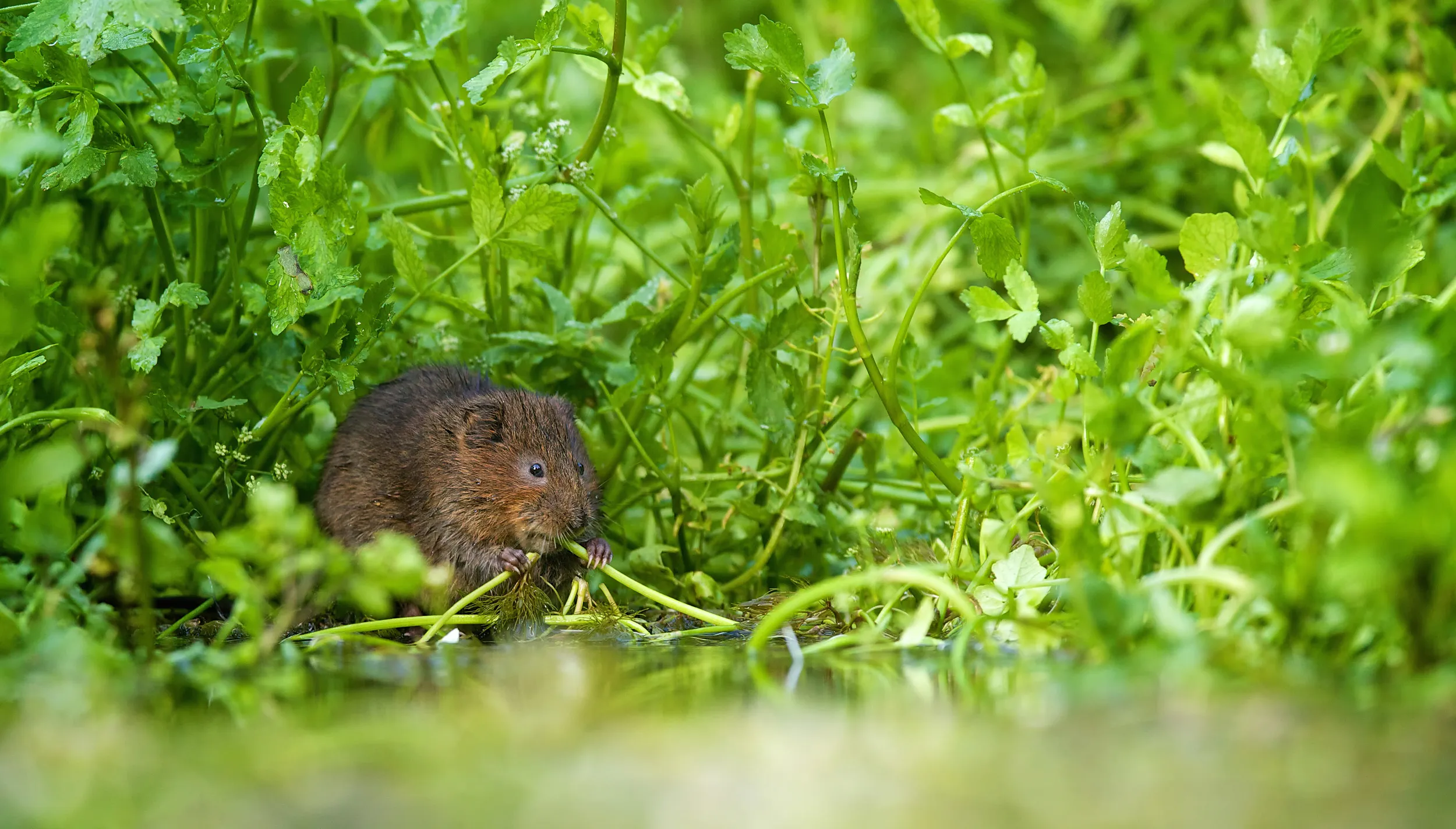
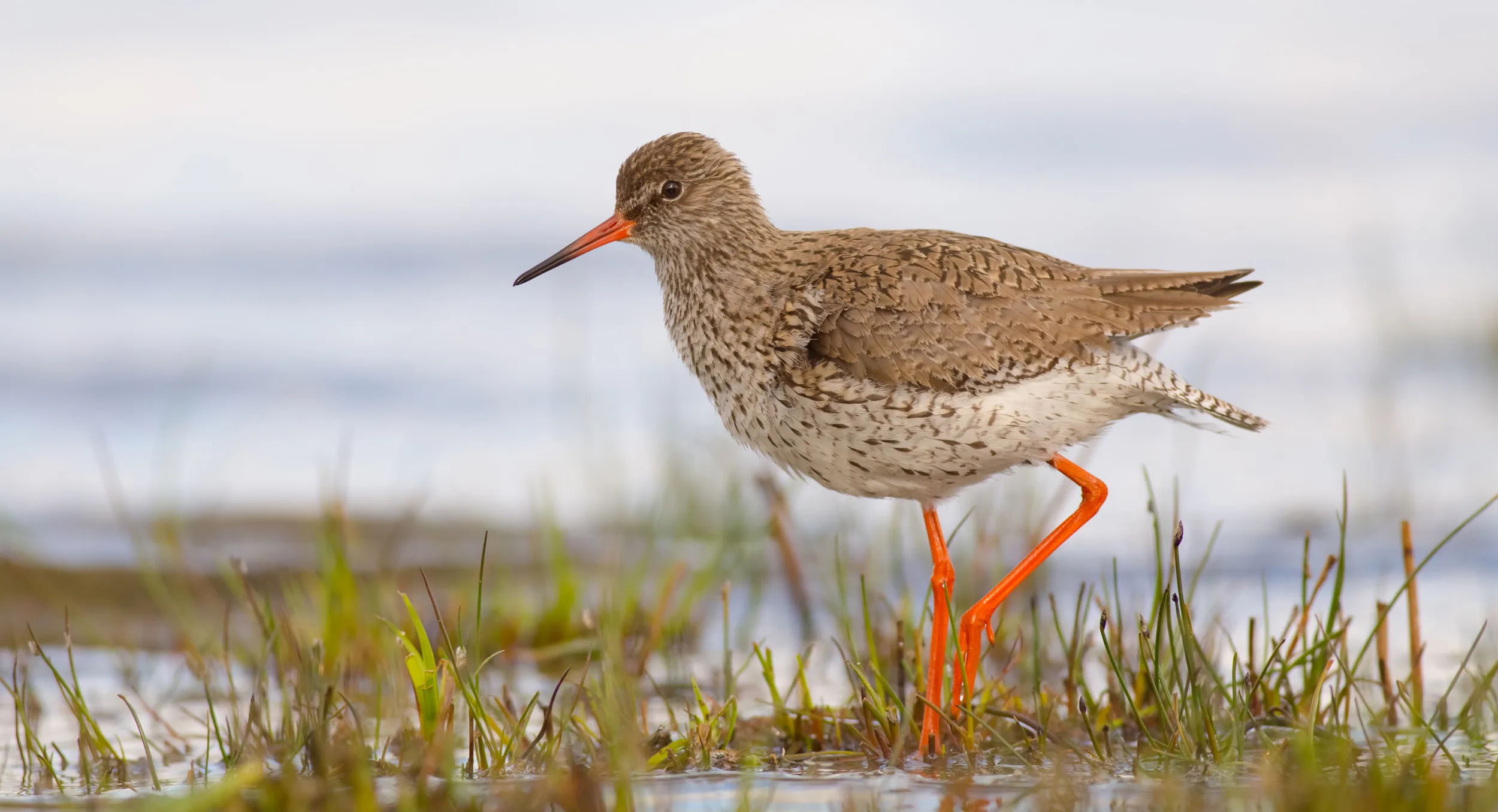
  • Curlews, Snipe, Redshanks, Lapwings, Common Cranes, Bitterns, Marsh Harriers, Bearded Reedlings and Great White Egrets. Winter migrants include, Teals, Wigeons, Golden Plovers. Water Voles and European Eels are also present, as well as a unique array of rare aquatic invertebrates. 

Designations

Large segments of the landscape form the Somerset Levels and Moors designated site network. These sites have been designated as Special Protection Areas (SPA) and are listed as Ramsar Sites, primarily due to the internationally significant numbers of migratory wintering waterbirds the area hosts each year.  

The designations were also put in place to protect the number of rare invertebrates present in the ditch systems and in certain wetland areas; several of which are listed as Endangered in the Red Data Book of Insects in the UK. 

Why this area is important

The Somerset Levels and Moors is one of the county’s most protected landscapes for biodiversity. The area is of national importance for breeding Curlews and Snipe, and internationally due to the number of waterbirds migrating here in winter.  

The area’s unique environmental features are also intertwined in local culture. The landscape can support sustainable, nature-friendly farming, and seasonal cattle grazing is a common feature across the land. This has the added benefit of maintaining species-rich grasslands and habitat for breeding waders.  

The landscape also poses huge opportunity to contribute to national environmental targets. The protection of lowland peatland is a national priority, and achieving this across the Somerset Levels and Moors would result in dramatic reductions of carbon emissions – contributing towards the UK’s Net Zero goals.  

Why are we prioritising this landscape?

Climate change is transforming the Somerset Levels. With large areas of the landscape barely above sea level, it is highly vulnerable, and we risk losing multiple rare and protected species and habitats should the current trajectory of extreme weather events continue. 

Therefore, we want to ensure the landscape, its wildlife and people can adapt in a way that encourages long-term resilience whilst protecting its unique features and character.  

Increasing the area of land managed for nature across the Priority Landscape could also be a huge step forward in achieving 30by30 objectives in Somerset (protecting 30% of land and sea for nature by 2030). Water level management change could improve climate resilience too, safeguarding water resources and reducing flood risk. 

What are the threats and opportunities?

Threats

  • Land and water management contributing to habitat loss and declining species abundance. 
  • Increasingly common summer drought, leading to dry wetlands and low water levels in ditches. 
  • High nutrient inputs from agriculture and water treatment centres causing poor water quality and low oxygen levels, promoting algal blooms and loss of aquatic wildlife.   
  • Being a low-lying area, it is considered highly vulnerable to climate change, which is only exacerbating the impacts of the threats listed above. 

Opportunities

  • Changes to water management provide a huge opportunity for improving climate resilience and protecting peat, as well as creating bigger, better and more connected wetland habitats.  
  • Engaging with local communities and landowners allows us to raise awareness and work together to enhance the value of the landscape.  
  • Promoting and supporting a transition to nature-friendly farming increases the area of land managed well for nature.  
  • Working with partners, including other environmental organisations, provides opportunities for joined up working and the delivery of large-scale environmental work. 
  • The development of wetland farming, known as paludiculture, could support an increase in wetland biodiversity as well as diversifying the livelihoods of local farmers. 

What are we trying to achieve with this work?

  • Increase the populations of breeding waders (Curlews, Snipe, Lapwings and Redshanks). 
  • Continue to provide good habitat and safe refuge for wintering birds. 
  • Deliver bigger, better-managed and more joined-up wetland habitats. 
  • Encourage and support transitions to nature-friendly farming and land management for nature 
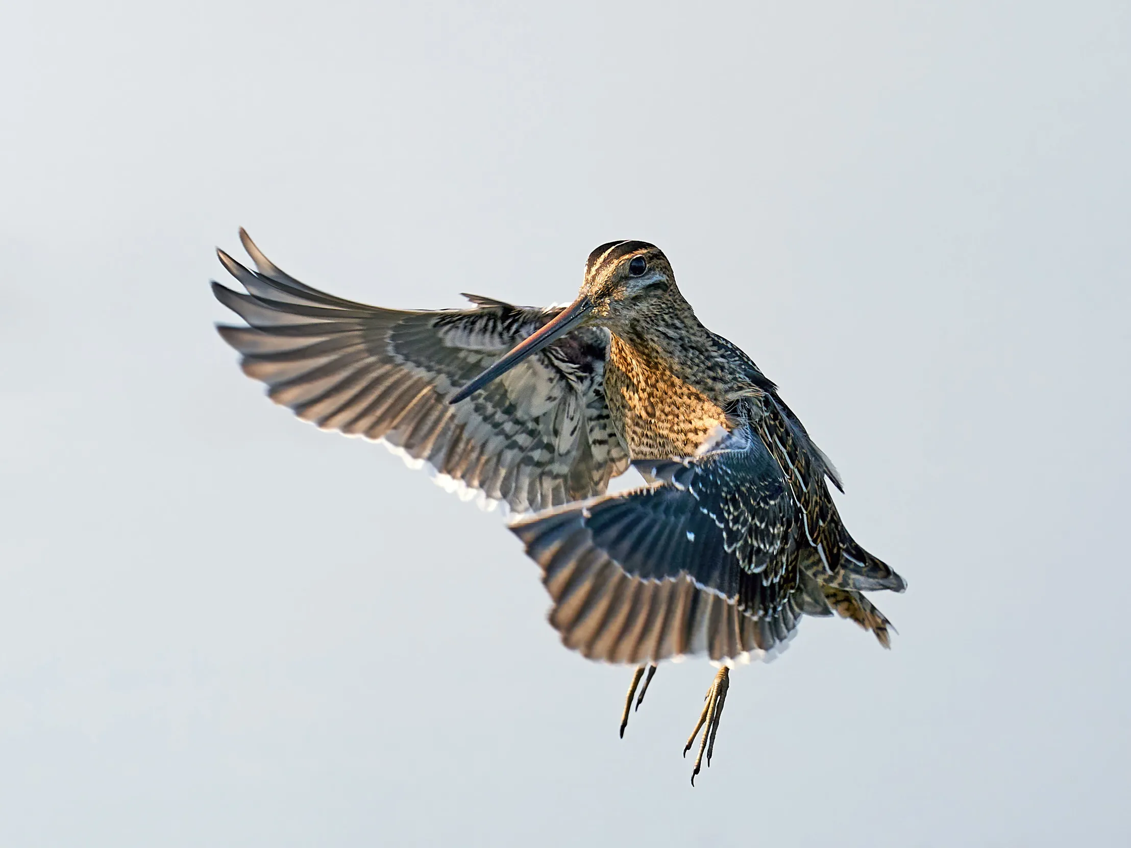
Lone Snipe, turning in the air

The story so far...

  • The RSPB is partnering with the Farming and Wildlife Advisory Group SouthWest (FWAG SW) on developing a 5000ha Landscape Recovery project. This aims to create large areas of wetland and support a transition to nature-friendly farming by paying landowners for environmental services provided.   
  • Numbers of breeding waders appear to have stabilised as result of habitat and nest protection on RSPB reserves, as well as land management and advisory efforts across the Priority Landscape. However, larger-scale efforts are needed for long-term change.   
  • The RSPB conducts annual breeding wader surveys across the landscape which enables us to monitor trends as well as advise landowners on sensitive land management where breeding birds are found present. 
  • The RSPB was instrumental in the creation of Raised Water Level Areas. These are areas of the landscape that are managed to hold higher water levels in spring and winter to provide safe habitat for breeding and wintering waterbirds. 
  • The RSPB is part of the Somerset Wetlands National Nature Reserve (NNR) partnership, which involved the designation of a Super NNR connecting coastal reserves on Bridgwater Bay through to the Avalon Marshes and down to the Sedgemoor reserves. 
Winter duck flocks resting on water, RSPB Greylake

How can you help

For any enquiries regarding the Somerset Levels Priority Landscape, please get in touch via somerset.levels@rspb.org.uk.  

If you’re interested in getting involved with any of our landscape work, please check out our volunteering page for any opportunities! Volunteering Opportunities | RSPB Volunteering 

Key partners

We work alongside a variety of organisations to deliver impactful work across the landscape. These include, the Farming and Wildlife Advisory Group SouthWest, Somerset Wildlife Trust, Wildfowl & Wetlands Trust, Environmental Agency, Natural England, Somerset Council, Hawk and Owl Trust, Southwest Heritage Trust, Somerset Rivers Authority, and the Internal Drainage Board.  

Our work with local communities, landowners and other stakeholders are also vital in achieving meaningful landscape-scale change. 

Useful resources

For more information on the Greater Sedgemoor Landscape recovery project please visit: Greater Sedgemoor Landscape Recovery Project.  

For more information on the Avalon Marshes, including events and opportunities to visit, please see: The Avalon Marshes - Avalon Marshes

The walk across the bridge through trees at RSPB Ham Wall
Walk across the bridge
Want to visit?

The following RSPB nature reserves form part of the Somerset Levels Priority Landscape:  

Share this article